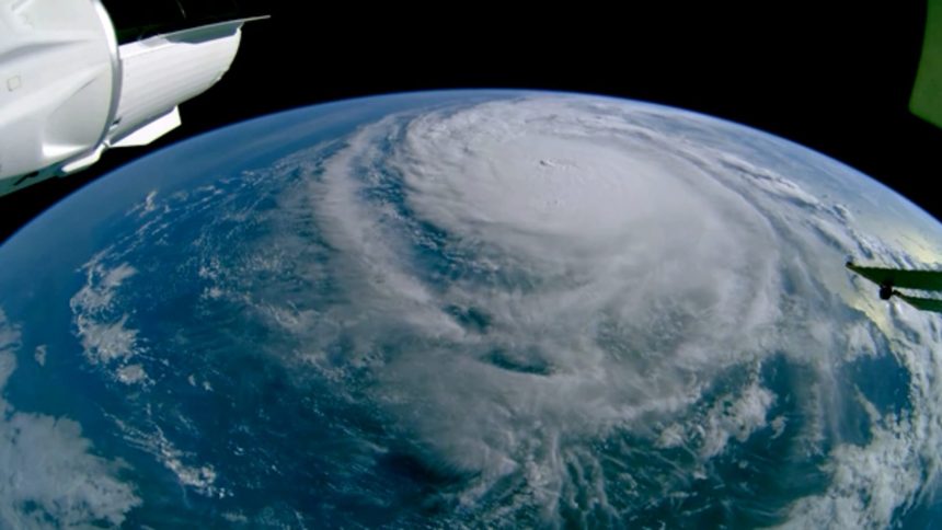
Steady rain hit the Tampa area Wednesday morning and winds are expected to increase in the afternoon as Floridians rush to prepare for Hurricane Milton. The storm continues to fluctuate in intensity as it approaches the state’s west coast and is expected to make landfall as a Category 4 hurricane, the second-highest rating.
The National Hurricane Center said on Monday that the storm had intensified into a Category 5 storm, but dropped down to a Category 4 Wednesday morning with sustained winds of up to 155 mph. The NHC said that the storm will remain a hurricane as it crosses the Florida peninsula.
As of Wednesday morning, a storm surge warning is in effect for the central to southern west coast of Florida, including Tampa. The NHC warning indicates “a danger of life-threatening inundation, from rising water moving inland from the coastline, during the next 36 hours in the indicated locations.”
Close to 6 million people in more than 10 counties are under evacuation orders. The Federal Emergency Management Agency wrote on Wednesday that “Your life is at serious risk if you don’t take action immediately – every second counts.”
The hurricane will likely make landfall late Wednesday night or early Thursday morning, according to the NHC.
Read the full article here


